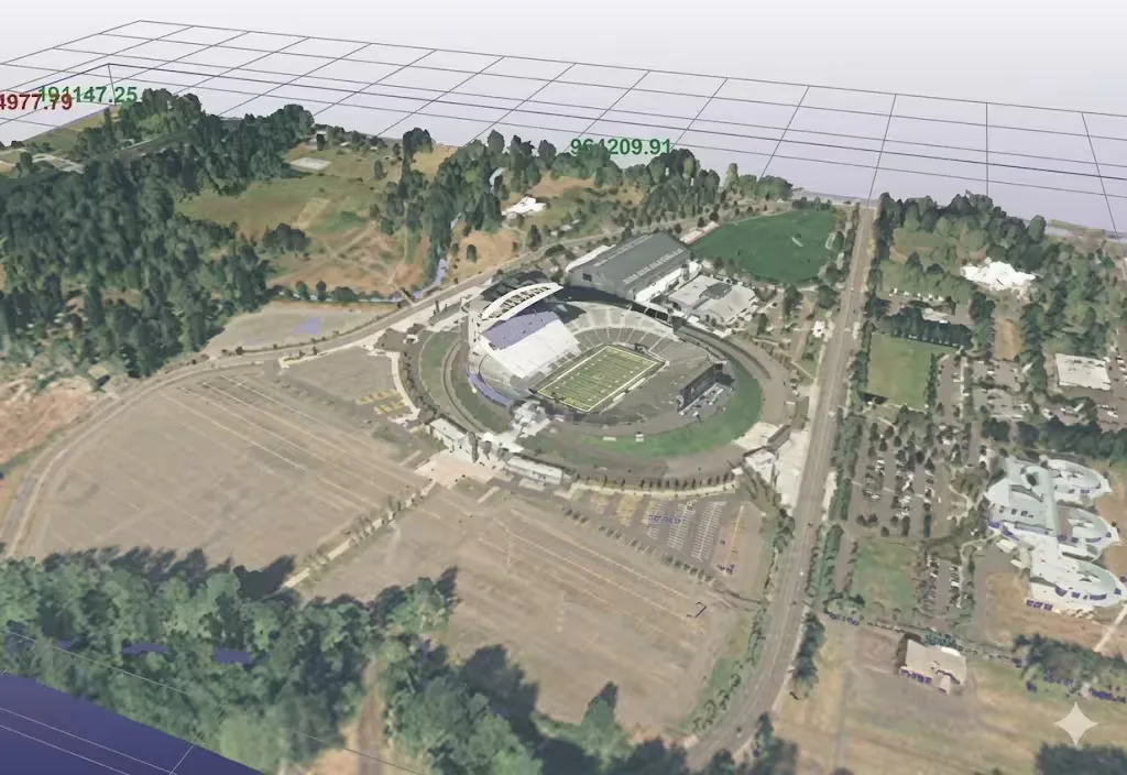
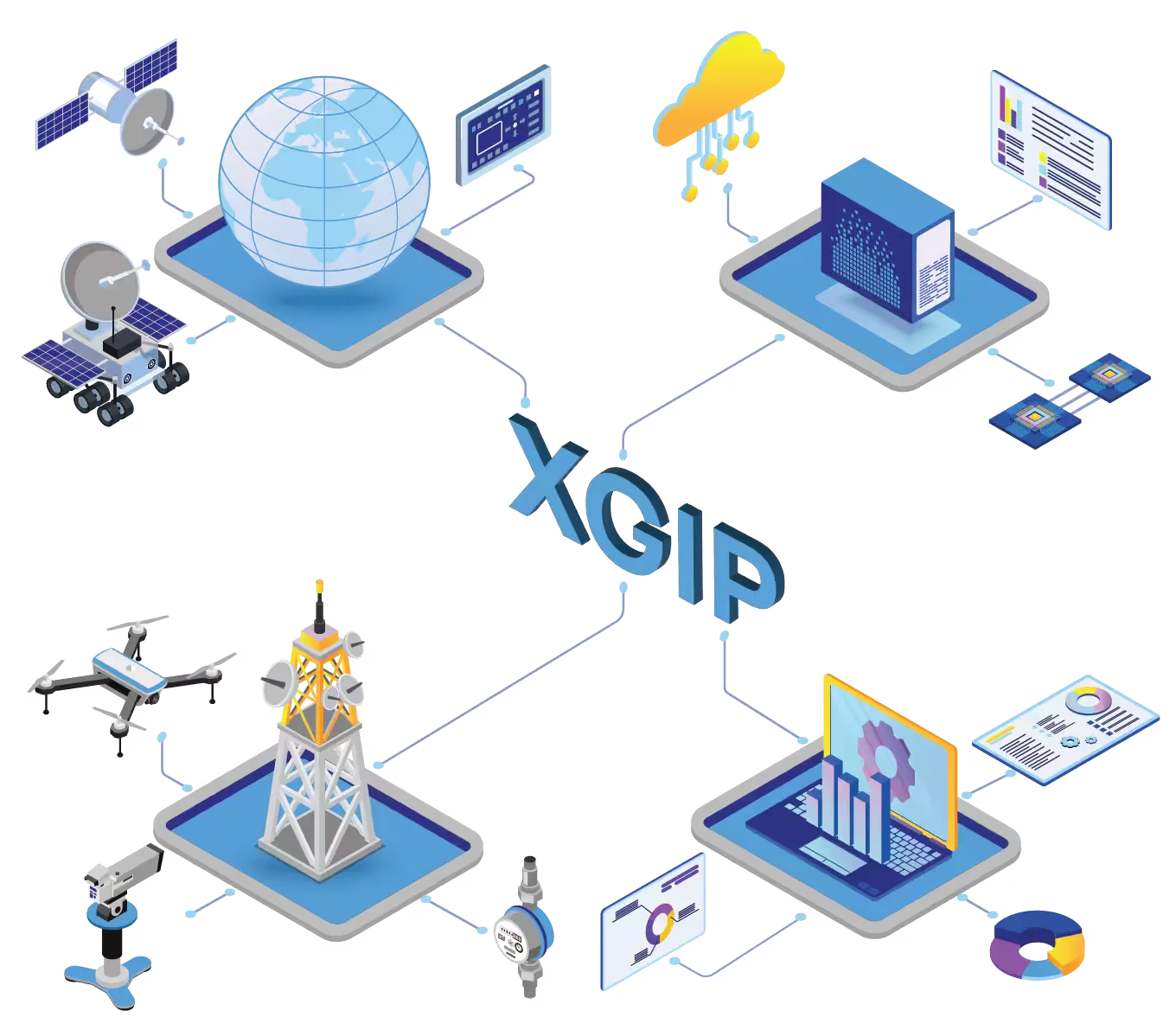
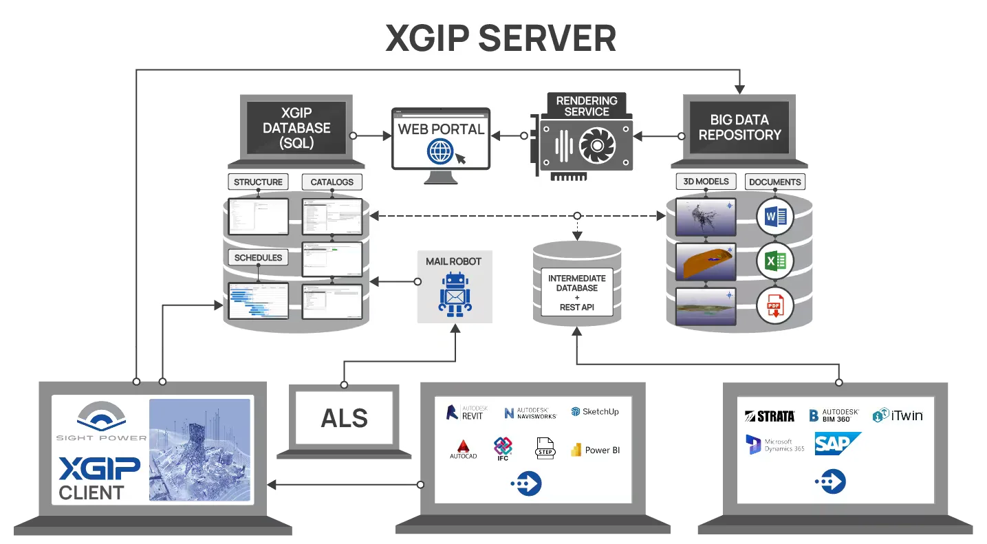
XGIP™ architecture — The XGIP™ platform is the client-server platform with special organization of backend which is designed as a scalable instrument for handling high volume of spatial, infrastructural and engineering data without limitations on size and original formats.
The XGIP™ platform facilitates seamless integration in the unified informational space of numerous data streams making business operations at any industrial or infrastructural facilities effective and consistent.
The XGIP™ platform provides:
- Open architecture and ability to tailor turn-key solutions for various customers.
- Easy integration with the majority of general engineering packages, CAD systems, and GIS systems, with integrated support of over 50 spatial formats.
- Effective resolution of the big spatial data challenge through unique underlying technology, including techniques for spatial data structuring, compression, transfer, smart indexing, object recognition, and spatial scene reconstruction.
- Outstanding capabilities for LiDAR data processing and visualization.
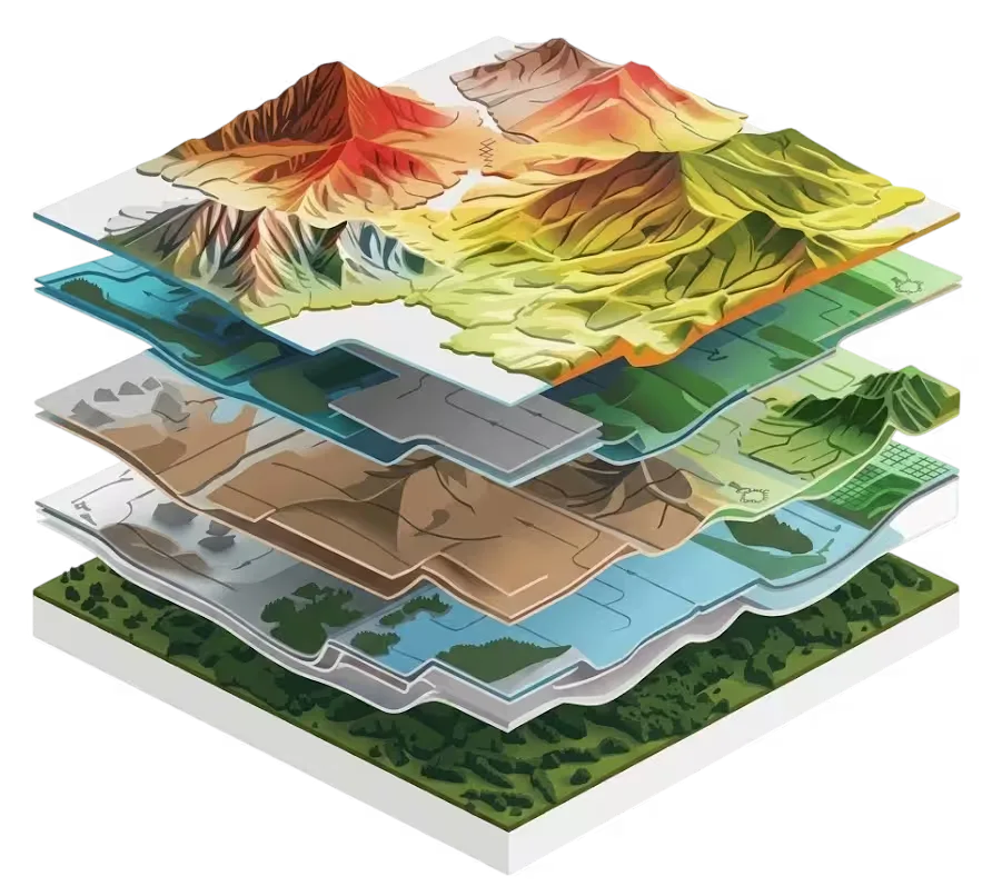
- Best-in-class visualization with practically unlimited power to unite in one 3D scene any types of spatial data — engineering, BIM, geological and hydrogeological models, seismic cubes, CAD models, GIS data, mining and construction plans, and more.
- Advanced web interfaces with full access to spatial scenes without installing any special software, accessible from phones and tablets.
- The ability to effectively process and integrate collected information using modeling, analytical facilities, monitoring, and distributed sensor systems to optimize tactical and strategic engineering solutions.
- Advanced short-, mid-, and long-term planning instruments integrated with MS Project.
- Full support of mixed and augmented reality devices (HoloLens, Magic Leap, VR devices, etc.) in partnership with Averian Inc.
- An AI-agentic layer that helps clients instantly obtain reports and analytics by combining enterprise digital-twin data with external sources (market feeds, weather, etc.) through natural-language interaction, in partnership with Averian Inc.
XGIP™ unifying format
The XGIP™ internal unifying format (eXtended Spatial Format — xsf extension) is a tag-based format designed for smooth incorporation of any type of spatial data. It unites a spectrum of spatial data formats — engineering (Autodesk *.dxf, *.dwg or Bentley *.dng, etc.), LiDAR (*.las, *.pts, *.e57, etc.), GIS (*.shp, *.dem, etc.), BIM format (*.ifc), as well as many others — over 50 formats in total, with no constraint on further extension.
XGIP™ supports reverse export from *.xsf back to the original format from which the data was converted.
XGIP™ visualization engine
XGIP™'s visualization engine offers best-in-class 2D-3D-4D rendering of spatial data with powerful interactive capabilities, including interactive labeling, cross-referencing, measuring, and cutting — without limitation on combining engineering, LiDAR, GIS and other spatial data types regardless of size or origin. The unique projection/coordinate system database supports simultaneous rendering of scenes that may combine data across countries, continents, or the whole world.
The spatial data processing and visualization technology proposed by SightPower implements the LOD (Level of Detail) principle for data storage, indexing, and rendering — using different levels of scene generalization depending on the distance between the object and the camera position.
Thus, the amount of data displayed can be reduced by hundreds or even thousands of times, making it possible to “smoothly” move through and analyze data-intensive scenes. LOD implementation in XGIP™ is specifically adapted for various applications and data types, from instant generalization to advanced preparation of special structures for fast, efficient scene visualization. The integrated use of this approach — enhanced by extended capabilities to analyze data across different areas of expertise — magnifies the scene hundreds of times without losing clarity or detail.