SightPower technology is designed as a multi-layer system for acquisition, processing, storage, and utilization of large-scale spatial and operational data, forming a consistent digital representation of complex industrial environments.
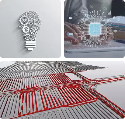
eXtended Geospatial Integration Platform (XGIP™)
XGIP™ is the core technological foundation embedded within the Mine Advisor™ platform. It provides data structures and algorithms for handling heterogeneous spatial datasets; integration of various spatial data types, including LiDAR point clouds, imagery, CAD/GIS data, and sensor streams; high-performance processing of large-scale spatial data volumes; and accurate geo-referencing, transformation, and synchronization of datasets.
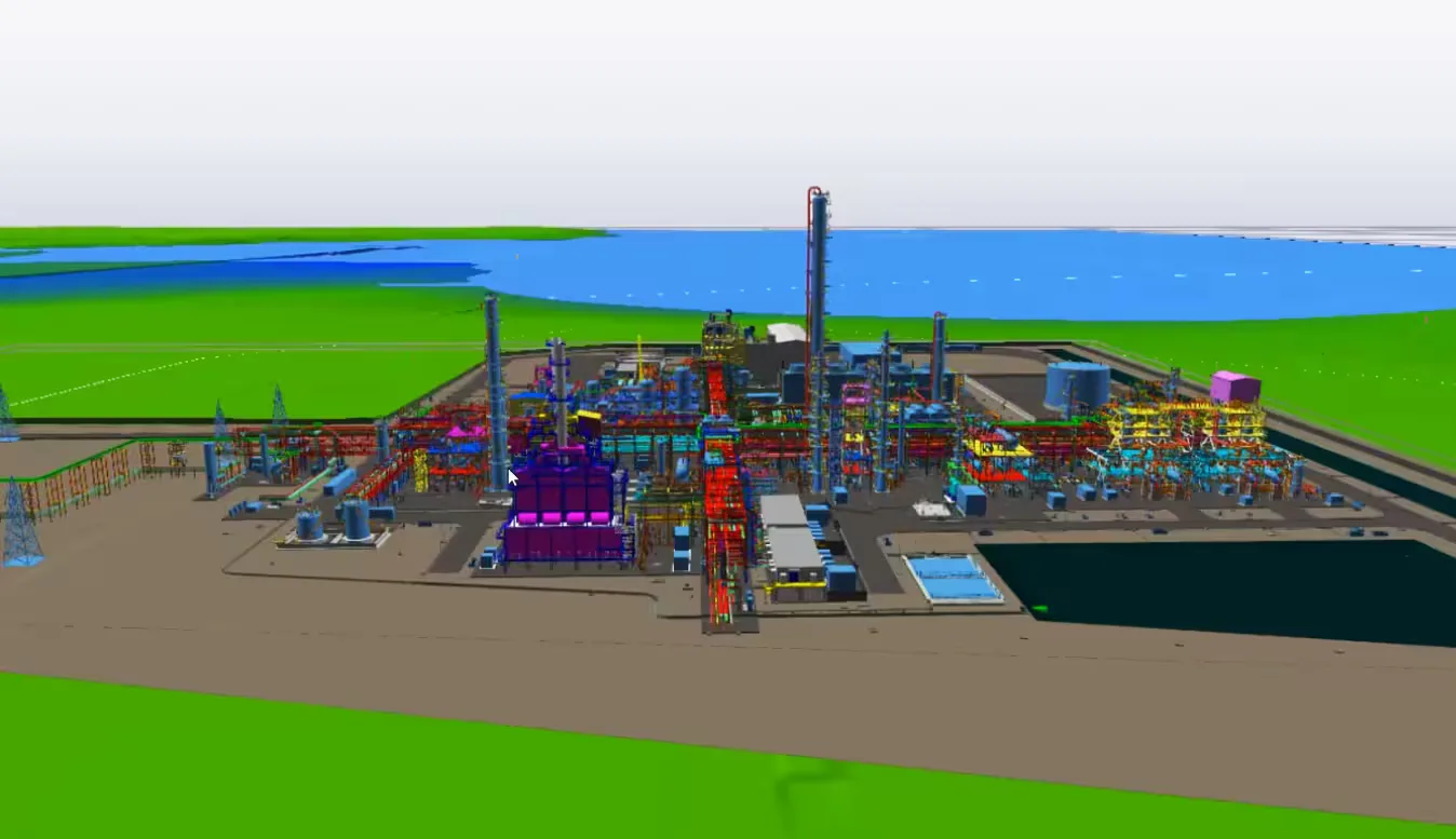
The technology operates as a unified spatial data engine, ensuring consistent representation of geometry, topology, and time-dependent changes across multiple data sources.
Data Storage and Backend Architecture
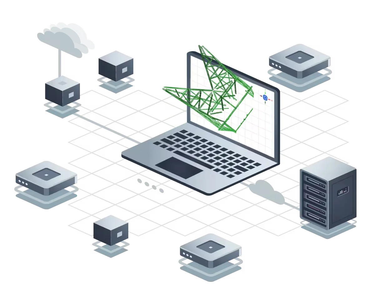
The technology implements a hybrid backend architecture, combining a relational database layer — which stores structured engineering and operational data and supports relationships between geological models, survey data, infrastructure elements, and time-dependent operational records — and a file-based spatial data repository, which stores large datasets such as LiDAR point clouds, 3D models, imagery, and scan results.
Both layers are connected through cross-references and metadata, enabling direct linking between raw data and engineering models, version control and historical traceability, and consistent access to all data types through a single logical structure. This architecture allows the system to manage very large and diverse datasets without compromising performance or consistency.
Large Spatial Data Handling (Pyramidization)
To efficiently process and visualize large spatial datasets, the technology applies multi-resolution data structuring (pyramidization) based on proprietary methods and internal IP.
This approach organizes spatial data into hierarchical levels of detail, enabling fast visualization using generalized datasets and high-precision analysis using full-resolution data. Key benefits include scalable handling of massive point clouds and 3D models, dynamic selection of the appropriate level of abstraction, and separation between visualization performance and analytical accuracy. This mechanism ensures that data size does not limit usability, even for enterprise-scale datasets.
Mine Advisor™
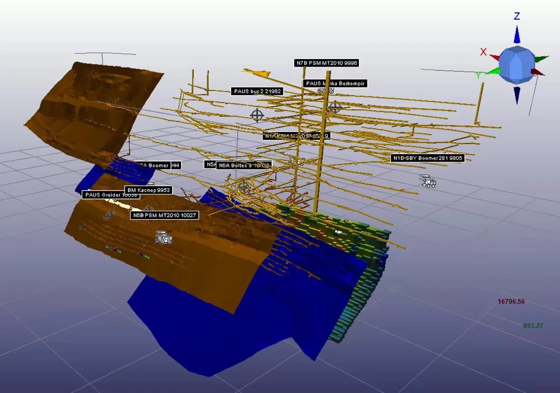
Mine Advisor™ extends the XGIP platform with application-specific tools and workflows designed for mining and industrial environments, enabling the practical implementation of the Digital Mine™ technology and methodology.
It implements a centralized spatial database environment combining geological, survey, engineering, and operational data, plus tools for geological modelling, mine design and planning, survey data processing, and LiDAR data processing and feature extraction. The platform integrates with CAD/GIS systems, fleet management, IoT monitoring infrastructure, and ERP systems, supporting both design-phase modelling and production-phase operations with continuous model updates.
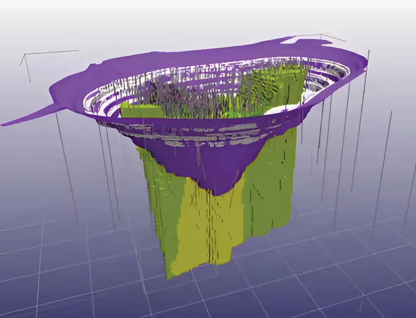
Digital Mine™ Methodology
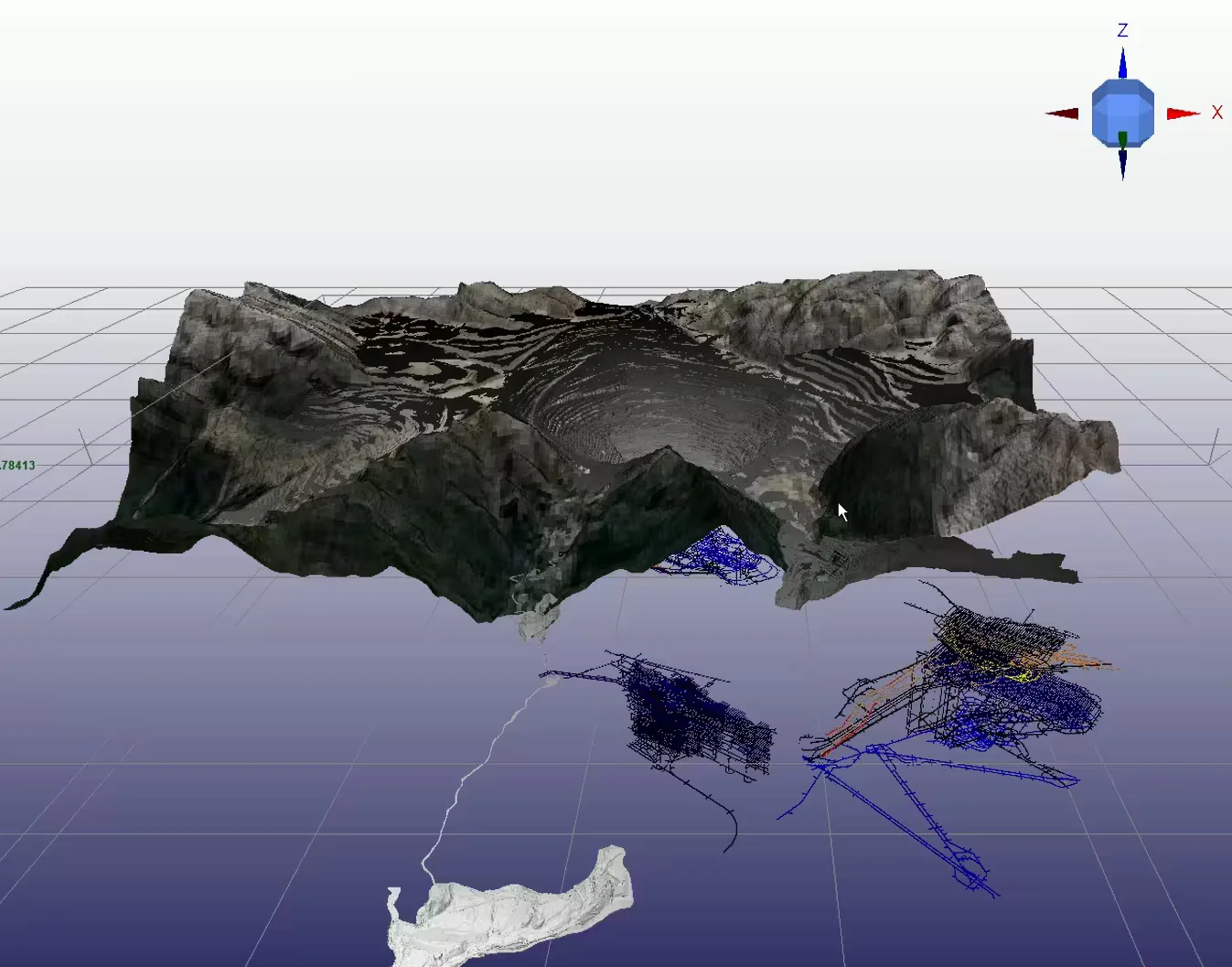
Digital Mine™ is a system-level methodology for implementing a dynamic digital twin. It defines a unified spatial–temporal model of a mine or industrial asset and enables continuous integration of geological data, engineering models, monitoring and sensor data, and operational information.
The Digital Mine™ maintains a continuously updated representation of the asset, allowing comparison between planned, actual, and historical states and supporting traceability and integrated workflows.
Integrated Mineshaft Data Acquisition — MS3
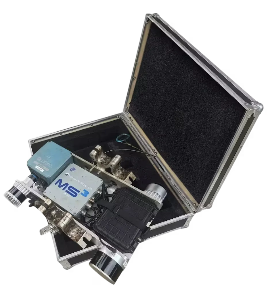
SightPower technology includes a dedicated hardware component for primary spatial data acquisition in underground environments. The MS3 (Mine Shaft Scanning System) is an integrated hardware–software solution for automated collection of high-resolution spatial data in mine shafts and related infrastructure.
It provides LiDAR-based acquisition of shaft and infrastructure geometry, synchronized capture of imagery and associated sensor data, operation in GPS-denied and hazardous underground environments, and repeatable data acquisition supporting time-based comparison and change detection.
Unlike conventional approaches relying solely on third-party data sources, MS3 enables direct acquisition of engineering-grade spatial data, ensuring consistency, accuracy, and full compatibility with downstream processing and analysis — operating as an integrated entry point of the overall technology stack.
Capabilities
- Processing and visualization of large-scale 3D/4D spatial data.
- Management of heterogeneous engineering datasets.
- Scalable backend for high-volume spatial data storage.
- Efficient visualization through multi-resolution pyramidization.
- Integration with existing industrial and enterprise systems.
- Deployment in cloud or enterprise environments.

AI-Powered Assistant for Contextual Insight
The AI Assistant is an intelligent conversational interface that combines enterprise data with external knowledge using advanced RAG technology. Supporting multiple leading LLMs, including GPT and DeepSeek, it delivers accurate, context-aware insights and answers across a wide range of business use cases.