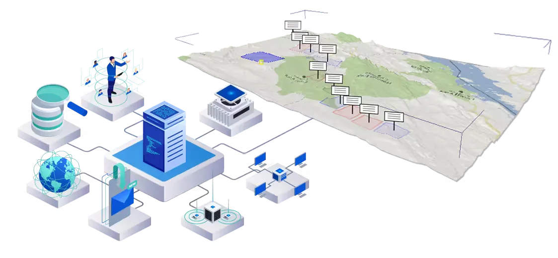
Land and property information underpins mining, infrastructure development, and urban growth, yet it is often fragmented across maps, documents, and disconnected systems. Sight Power’s Land Cadastre solution provides a unified digital environment for managing cadastral, legal, and spatial land information within a single, consistent geospatial framework.
Built on the XGIP™ spatial intelligence engine and integrated with the Mine Advisor™ platform, the solution brings together land boundaries, ownership records, legal rights, and spatial data into an authoritative digital model that supports planning, compliance, and decision-making.
Integrating Legal and Spatial Reality
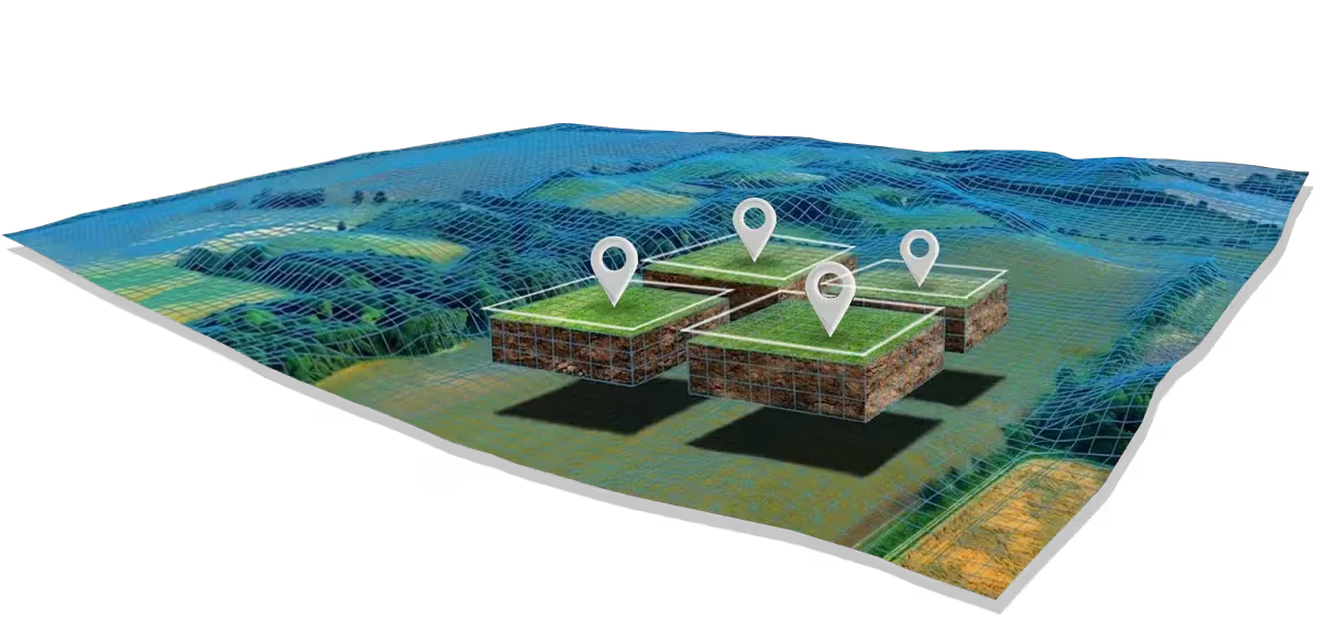
The Land Cadastre solution unifies heterogeneous data sources, including cadastral maps and boundary definitions, land ownership and tenure information, easements, servitudes, and rights-of-way, zoning and land-use restrictions, and survey data and high-resolution spatial models.
All information is anchored to a common spatial reference, ensuring consistency between legal records and physical reality on the ground.
Supporting Mining, Infrastructure, and Development Projects
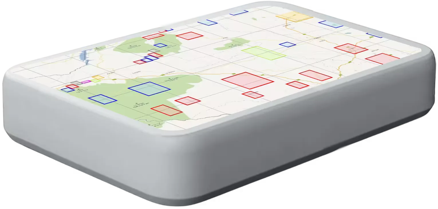
Within mining and infrastructure projects, accurate cadastral information is critical for land acquisition, permitting, expansion planning, and stakeholder coordination. Sight Power’s approach allows land information to be analyzed directly alongside mining layouts and infrastructure corridors, tailings facilities and environmental buffers, transportation and utility routes, and urban or industrial development plans.
This integrated view reduces risk, prevents conflicts, and supports informed negotiations and approvals.
Digital Cadastre as Part of a Broader Digital Twin
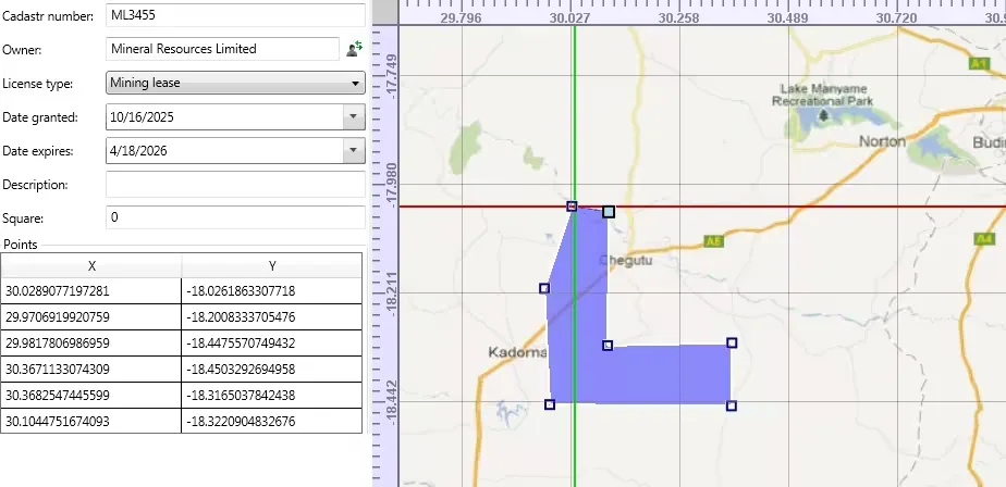
Land Cadastre is not an isolated system. Within the Digital Mine™ and Spatial Enterprise environments, cadastral data becomes part of a broader Digital Twin that links land, infrastructure, operations, and environmental considerations.
Time-dependent visualization supports tracking of land status changes, boundary updates, and evolving rights over time, while web-based access enables collaboration among engineers, planners, legal teams, and external stakeholders.
Scalable, Customizable, and Enterprise-Ready
The solution adapts to local cadastral standards, regulatory frameworks, and corporate workflows. Its open architecture allows seamless integration with ERP systems, document repositories, and external GIS platforms, providing a reliable digital foundation for long-term land and asset management.