Sight Power’s XGIP data integration and visualization solution is designed for enterprise-level clients seeking to organize, structure, visualize and analyze their spatial data.
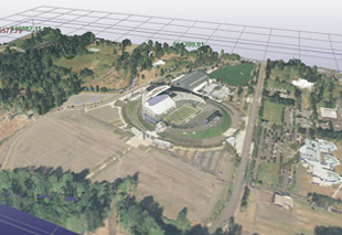
Sight Power’s XGIP Viewer is a data integration solution for rapid visualization of complex spatial data sets. Files are converted into our proprietary spatial format; the XGIP Viewer also supports common, standard non-spatial formats such as *.pdf, *.doc, *.xls, etc.
XGIP Viewer can be used either as a standalone application or as the front-end of our DIGITAL MINE and Mine Advisor solutions through connection to a back-end SQL Server or Oracle spatial database.
XGIP Viewer includes the following basic features:
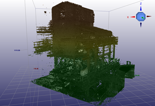
- Import from various 3D-party spatial formats
- Multiple map windows
- 2D and 3D visualization of spatial data with unlimited size and numerous formats (geology, seismic, CAD, GIS, LiDAR, drill-holes, cross-sections, DEMs, multilayer grids, 3D grids, shells, etc.)
- Interactive tools
- Table browser
- Ability to save pre-constructed scenes
- Integration of metadata and history information
- Model position control (rotation, zoom, etc.) in 3D mode
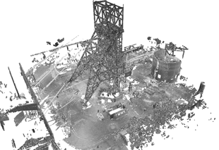
XGIP Viewer includes the following expanded capabilities:
- Interactive data editor
- Table search engine
- Spatial database search
Our data integration solution typically involves two stages of implementation. The first involves review of customers data, pre-processing, converting and then compiling the unified project. The second stage may include data analysis and/or data visualization depending on customer requirements.

